A few months ago, I posted about how you could use the Elk package to bring GIS data from Open Street Map into Dynamo. Open Street Map is a great resource if you do not have access to other GIS data. But if you do have other GIS data, such as shapefiles, then Elk is not very useful.
However, there is another package that can import shapefiles into Dynamo: DynamoGIS. For some reason, this package does not appear on the package manager website, but you can find it if you search the package manager from inside Dynamo.
Once installed, it will appear under the name GIS.
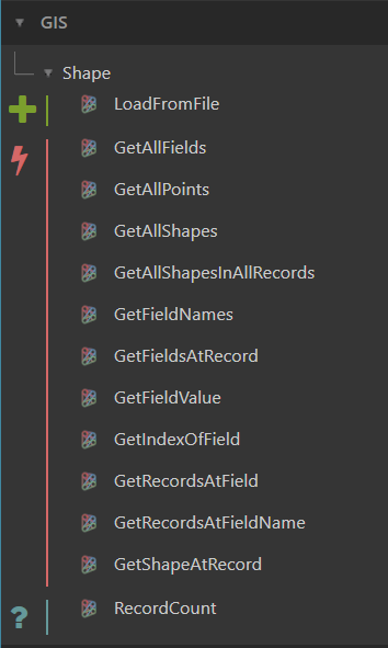
It has over a dozen different nodes, though I have only used a few so far. Here is a basic definition that will load the shapefile geometry.
 Since it is GIS data, the main part of this definition is transforming (or moving) the geometry so that it is closer to the origin. This will make it visible in Dynamo and also usable in Revit.
Also, if you are interested in converting the curves into solids and then…
Leave a Comment
You must be logged in to post a comment.