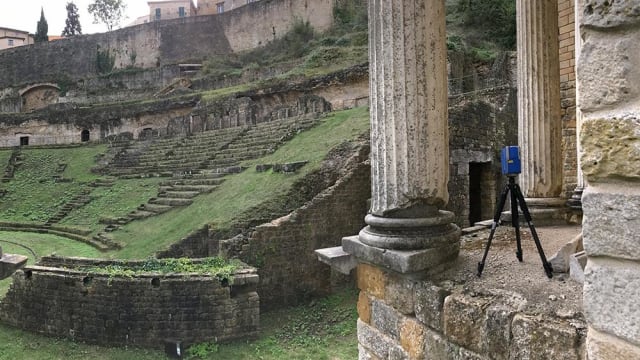
In Volterra, Italy, overlooking the Pignano limestone steps of one of the most well-preserved Roman theaters in the country, Richard Celender watched in awe as a 3D Robotics–made solo drone soared quietly overhead. Before his eyes, history was being remade.
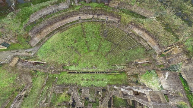
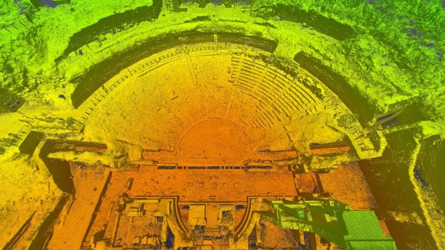
Celender is a Federal Aviation Administration (FAA)–licensed remote pilot and vice president of the Pittsburgh-based Civil & Environmental Consultants (CEC). As part of an international reality capture workshop from Oct. 10 to 22, CEC—along with Volterra Detroit Foundation, Case Technologies, Autodesk and 3D Robotics—collaborated on an unprecedented mission: using drones, cameras and laser scanners to produce textured, 3D mesh models and animated videos of the ancient Italian city, its archaeological remains and some of its treasured artwork.
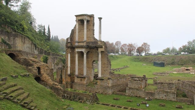
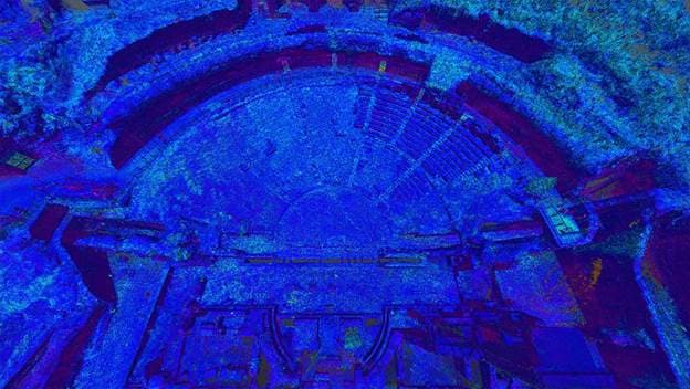

“The scans and models captured for this project can help with future restoration efforts or help recreate an archaeological treasure if needed to see where a column fell, to go back to that exact point in time, to say, ‘Here’s where the columns were,’ and to then put them back in scale—that’s pretty incredible,” Celender said.
The reality capture workshop was rare for its historical significance, but not for its methods. Increasing numbers of construction companies and civil and environmental engineering consultancies are turning to drones to capture rich aerial data and generate detailed—and financially valuable—3D models of…