Free GIS Resources
By Rob Bigelow, Infrastructure Industry Specialist, ATG West
Geographic Information System (GIS) data is everywhere and is ready to be utilized by engineers and businesses of all sizes and capabilities. Thanks to the enormous popularity of programs like Google Earth and technology like drones and LiDAR, the need for this data keeps growing every day. Fortunately for those of us in the Infrastructure world, the availability is growing even faster.
Whether it’s utilities, structures, raster imagery, or even non-stationary entities like demographics, everything on this planet is begging to be mapped.
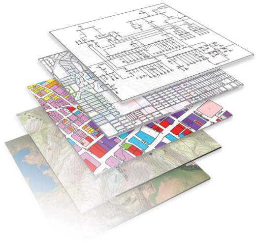
Engineers, planners, architects, and surveyors can use this GIS data from the preliminary stages to final design.

But the big question is… where do I find it? An even better question is… where do I find it FOR FREE?
Here’s a list of websites you can go and download a plethora of FREE GIS DATA, ready to use with your Infrastructure…