Pothole-Finding AI Could Make It Easier to Assess Roads
Emily Pollock posted on August 14, 2018 |

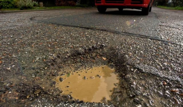
University of Waterloo researchers have developed software that finds potholes automatically. (Image courtesy of Metropolitan Transportation Commission.)
Researchers have developed an AI software system that can automatically analyze photos of roads to locate potholes and cracks in the pavement, and help cities fill them faster.
Currently, there are two basic approaches to collecting pothole data. In smaller towns, workers simply drive around and inspect roads visually for signs of cracks or potholes. Larger cities often use truck-mounted cameras to take images of roads, which are then analyzed by teams of experts. And while the second approach is slightly more scientific than the first, it’s not perfect. “It’s time consuming and very expensive,” lead researcher John Zelek told Waterloo paper The Record. “You don’t get consistency because there is some subjectivity.”
The researchers started their project by using on-the-ground photos from Google Street View. As the project progressed, they used images from different sources, including some from a company that uses footage from vehicle-mounted cameras to identify pavement defects. In the real world, municipalities could use videos taken from onboard cameras on city vehicles that capture footage as workers drive around doing their daily business. The cameras do not have to be particularly hi-res; indeed,…

