DJI and Propeller Unite on Drone Mapping Solution
Emily Pollock posted on November 05, 2018 |

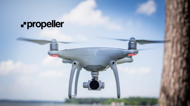
A DJI Phantom 4 Drone using Propeller’s new PPK Solution, which allows it to survey up to 1km away from any ground control points with an accuracy of approximately one inch. (Image courtesy of Propeller.)
Drone analytics company Propeller has announced that they’re partnering with drone company DJI to create a mapping system for clients in the civil, mining, aggregates, and waste management industries.
“Propeller’s deep expertise in aerial mapping and analytics coupled with DJI’s industry-leading open-platform drone hardware creates a highly accurate turnkey solution,” Jan Gasparic, Director of Strategic Partnerships at DJI, said in Propeller’s press release.
The new Propeller PPK Solution is made to work with DJI’s Phantom 4 RTK drone. It builds off of Propeller’s cloud platform and offers Post Processed Kinematic (PPK) GPS correction, where the data is corrected after it’s uploaded to the cloud, not while it’s being taken. Rory San Miguel, CEO of Propeller, calls it an “end-to-end PPK system.”
The platform sends photogrammetric data in geodetic, projected, or local coordinate systems, and is capable of accuracy within 1.2 inches up to a kilometer (0.62 miles) away from any ground control points (GCPs). According to Propeller, if you’re using PPK Solution in a local, known area, you only need one ground control point. The company also says that using…

