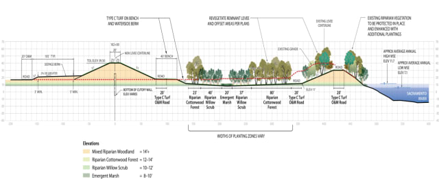
Prepared for the big one? Protecting West Sacramento from the Sacramento River is a new levee, higher and further from the river than the old levee. A bike path will run along the top. (Image courtesy of West Sac Flood Protect presentation given at FMA Conference, Sep. 8, 2016.)
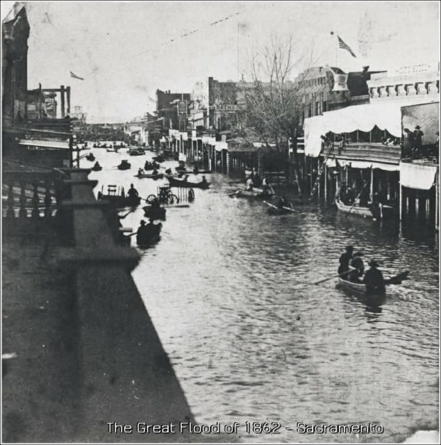
Not long after the Gold Rush of 1849, California became a state and made its capital in Sacramento. It seemed a logical choice. The city was served by the two of the state’s biggest rivers, the Sacramento and American, at a time when a lot of goods and people moved via river traffic. It was somewhat centrally located. But, there was the occasional flood. Every spring, the snowcap in the Sierras melts, leaving a significant amount of water in the Central Valley, where Sacramento sits. The city engineered a levee system to control the seasonal flooding. But, they were about to find out about the Pineapple Express and California’s megafloods.
When the levee breaks, I’ll have no place to stay, mean old levee taught me to weep and moan — Led Zeppelin (click to play on YouTube)

In December 1861, the Pineapple Express rushed into town. Named for its origin, the atmospheric anomaly, a jet of warm air loaded with moisture, picked up near the Hawaiian islands (where they grow pineapples, see?) and dumped its water across California into the Central Valley before it encountered the snow laden peaks of the Sierra Nevada mountains. The warm air blew, battering all of California and the…

