Maps connect us to the world in unique ways. Maps We Love is an ongoing project created by Esri that helps us find and share incredible content made possible with ArcGIS.
ArcGIS is used to identify problems, monitor change, manage and respond to events, perform forecasting, set priorities and understand trends. Maps We Love features many different maps that inspire ideas and information and identify these major points.
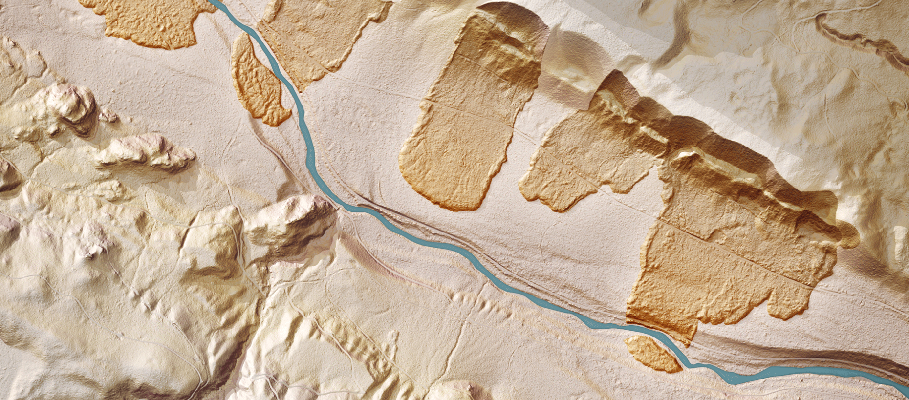
Some maps are built to tell a story or show what is hidden underneath. “The Bare Earth” story map from the Washington Geological Survey won first place in Esri’s 2018 Storytelling with Maps Contest and is a great example of how maps allow us to see through what’s on the surface.
Many of Earth’s processes occur over a long period of time, much longer than a human lifetime. This sometimes makes it difficult to fully understand these processes. This collection of maps reveals short-duration events with repeat appearances, such as tsunamis, and long-term…