Since the explosion of professional GIS products in the mid
90s, ArcGIS by Esri has seen a steady rise. The company began in the 1960s as a
land use consulting firm and now enjoys the largest share of the GIS market.
Notably, the use of ArcGIS in educational settings has been steadily climbing, especially
in fields like environmental sciences and history. In the past few years, there
has also been a call for architects to further embrace the possibilities of
ArcGIS, and especially to begin incorporating it into architecture classrooms.
After all, GIS is useful for analyzing any project with a spatial component,
making architectural projects a natural fit.
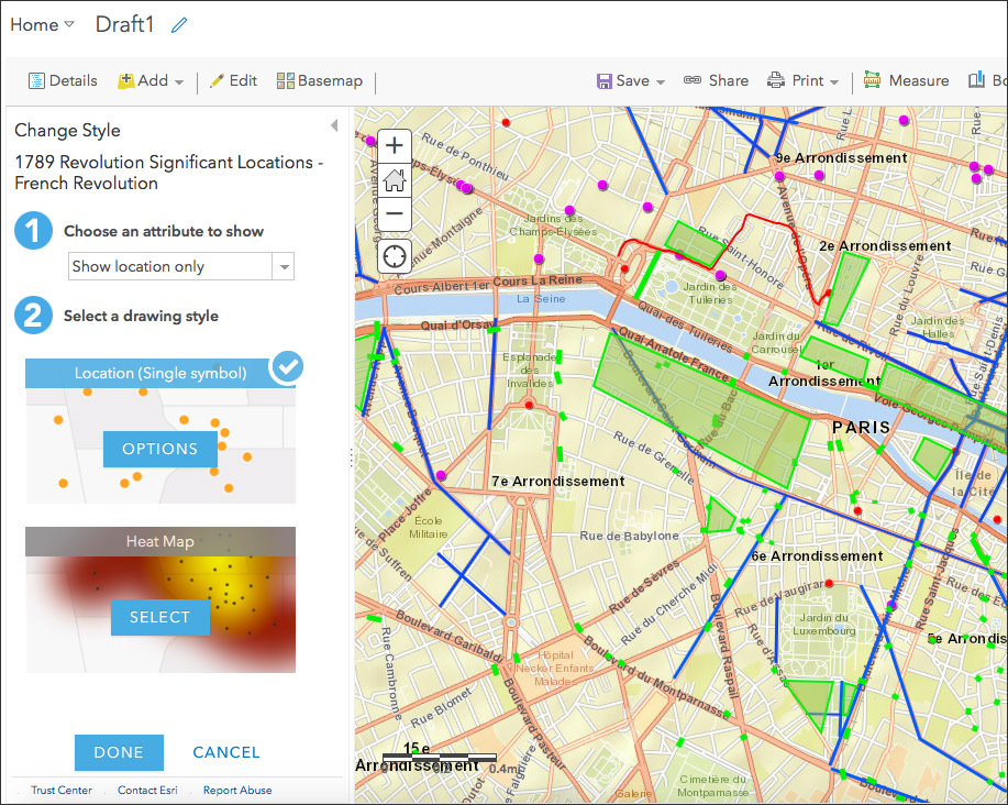
This article describes the use of the online version of ArcGIS for a historical research project exploring the spatial component to revolution in the city of Paris, and how the memory of political conflict helps to inspire and initiate similar actions in new generations.
URL: Read more