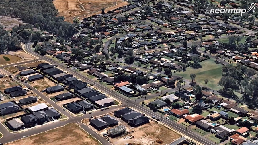
This article provides an overview of Nearmap, which provides frequently-updated aerial imagery of most of the populated areas in North America, Australia, and New Zealand for use in building and infrastructure design. In addition to annotating and measuring the imagery, it also includes AI-enabled automatic feature detection capabilities that can save hours of tedious, manual labor in making sense of the imagery.